Waikīkī, simply translated means sprouting water, which is a reference to the springs, many of which is marked on old maps. Although most of the springs were filled to build hotels and apartment buildings, spring water still surfaces in the ocean off Waikīkī in the shallow reefs along the beach.
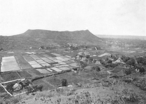
Waikīkī is part of the south shore on the island of Oʻahu and stream waters from three inland valleys, Pālolo, Mānoa and Mākiki flowed into the lowlands of Waikīkī that created wetlands that were essential to life in Waikīkī. The wetland provided water for domestic needs and created many acres for agriculture including the cultivation of kalo (taro). The wetland supported more than a dozen fishponds, where stocks of fish were kept and caught as needed. Several streams flowed out of the wetland into the Waikīkī shoreline that helped support marine resources such as edible seaweeds that were once abundant in Waikīkī.
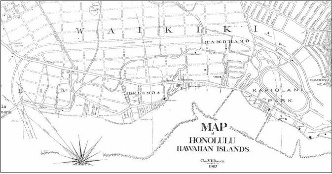
The land division of Waikīkī is made up of two sections. The first being Waikīkī Kai, which was approximately from the beach to the Ala Wai Canal, and the second division being Waikīkī Waena, which was approximately from the Ala Wai Canal to Dole Street above the H-1 Freeway